See Full Size
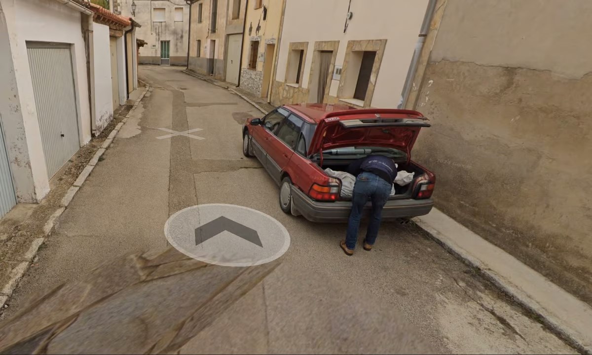
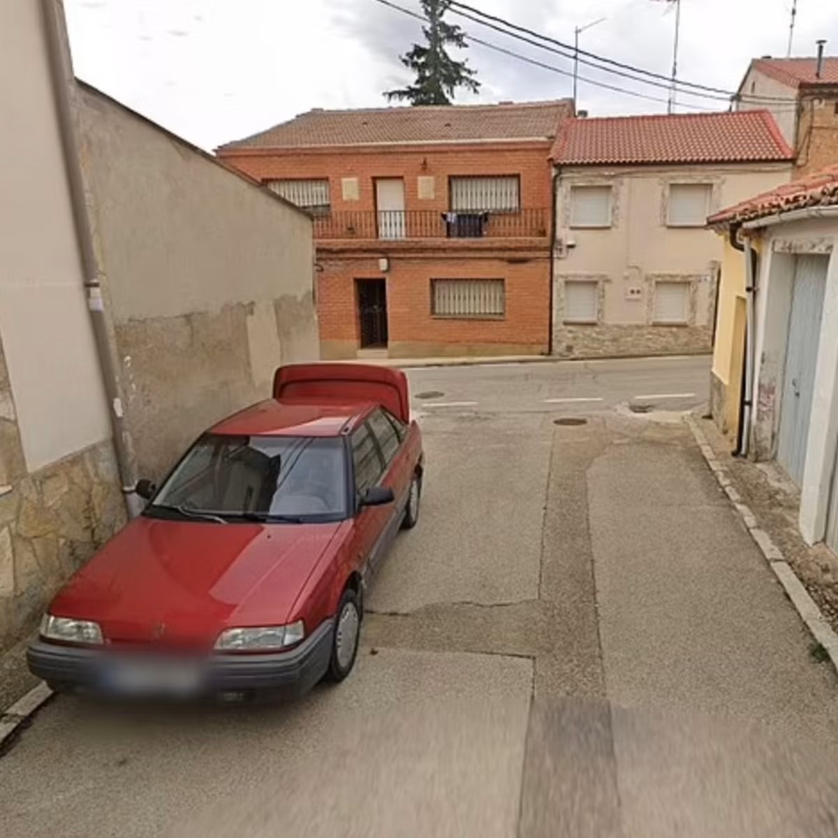
This image and other photos taken by the Google Maps tool were used as critical evidence by police. This evidence is in the case of a man who disappeared last year. led to the arrest of two people.
Suspects caught on Google Maps
See Full Size
The investigation opened after the suspicious messages focused on the Cuban man’s ex-partner and another man with whom he was thought to have had a romantic relationship. Last month, police arrested the couple in connection with the disappearance and murder of the Cuban man. Weeks later, a human body thought to be that of the missing person was found in a nearby village cemetery.
Police are in the process of investigating Google MapsHe particularly emphasized the role played by . In a statement, “One of the clues that investigators used to solve the crime were images detected while examining a map application.” It was said. The images enabled the identification of the vehicle used in the commission of the crime. Police said the investigation into the incident was ongoing, but declined to share further details.
This news our mobile application Download using
You can read it whenever you want (even offline):


